Tässä tilanteessa leudon jouluaaton jälkeen Suomen yllä oli vallinnut korkeapaine, mutta heikon kaakkoistuulen myötä vielä hyvin vähän jäässä olleelta Suomenlahdelta pääsi vielä kosteutta kuvauspaikalle Vantaan Tikkurilaan, vaikka edellisten päivien matalapaine oli väistynyt etelään. Sen vuoksi kuvassa olevista kumpukerrospilvistä satoi heikosti lunta ja siksi pilvien rakenne näkyi heikosti. Pakkanen oli -8,4 ja -5,7 asteen välillä päivän aikana. Tässäkin tilanteessa nähdään heikosti punertavaa iltaruskosävyä matalalla olleen auringon vuoksi. Kuva on otettu kohti pohjoistaivasta. Säätilanne: valitse 27.12.2005; Wetter3 A. Wetter3 B.
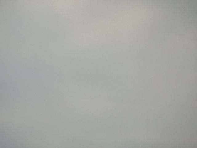
In this situation a high pressure was over Finland, but moisture was transported from still very little frozen The Gulf Of Finland towards the photoshooting scene in the district of Tikkurila in Vantaa with a weak southeasterly wind, allthough the low pressure of the previous days had been moved to the south. Therefore it was snowing slightly from the stratocumulus clouds in the picture and that is why the structure of the clouds was weakly visible. The temperature was between -8,2 C and -6,6 C during the day. In this case also we see slight reddish sunset colour due to the low shining sun. The Picture is taken towards northern sky. Weather condition: choose 27.12.2005; Wetter3 A. Wetter3 B.
Helsingin Puistolan säätilasto joulukuussa 2005 - Weather chart of Puistola, Helsinki in December 2005.
Flickr 1 Flickr 2

posted by Mika at 2:21 PM
![]()


0 Comments:
Post a Comment
<< Home