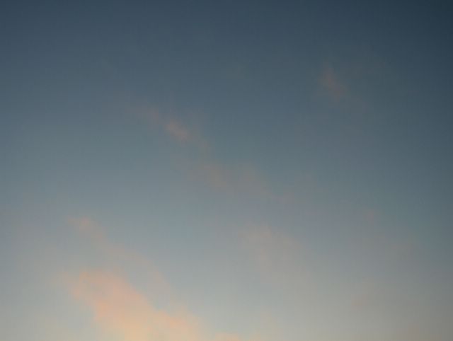
Kuvauspäivän tilanteessa lauhat etelä- ja lounaistuulet vaikuttivat vielä, vaikka Suomen ylle alkoi vahvistua korkeapaineen selänne. Taivaalla liikkui kuitenkin edelleen sumupilviä, joista tässä on eräs iltaruskon (myös ns. keskipäiväruskovärejä tähän aikaan vuodesta) värjäämä esimerkki. Tässä vaiheessa lämpötila oli vielä ylimmillään +1,3 astetta, mutta iltaan mennessä pakastui hieman alkupäivän sadealueen (lunta, räntää ja vettä) jälkeen sään seljettyä osaksi. Sateen aiheutti hyvin pieni matalapaine idän korkeapaineen länsireunalla. Kuva on otettu kohti lounaistaivasta Vantaan Tikkurilassa. Säätilanne: valitse 2.1.2006; Wetter3 A. Wetter3 B.
During the situation of the photoshooting day mild air flows from south and southwest were affecting, although a high pressure was strengthening over Finland. However there were further stratus clouds moving about in the sky. Here is one example of those with the sunset colours (also noon colours so to speak in this time of the year). At this time the temperature was +1,3 C at highest, but it turned a bit freezing by the evening after a precipitation area (snow, sleet and rain) of the early day as the weather got partly clear. The precipitation was caused by a very small low pressure on the western side of a eastern high pressure. The photo is taken towards southwestern sky in the district of Tikkurila in Vantaa (near Helsinki). Weather condition: choose 2.1.2006; Wetter3 A. Wetter3 B.
Helsingin Puistolan säätilasto tammikuussa 2006 - Weather chart of Puistola, Helsinki in January 2006.
Flickr 1 Flickr 2

posted by Mika at 2:43 PM
![]()


0 Comments:
Post a Comment
<< Home