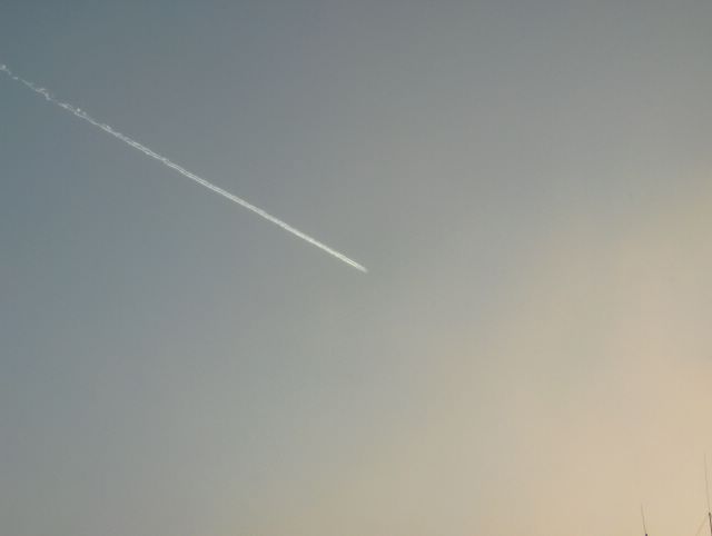
Samana päivänä myöhemmin edelliseen kuvaan verrattuna lumikuuropilvet olivat tilapäisesti kaikonneet, koska tuulet kävivät välillä enemmän idästä kuin Suomenlahdelta. Kuvassa tosin on hyvin vähän pilvisyyttä oikeassa alakulmassa. Tämä tiesi kovenevaa pakkasta myös päiväsaikaan, koska lumikuuroilla oli ajoittain lauhduttava vaikutus. Etelä-Suomen sisämaassa taivas oli lähes koko kylmän pakkasjakson ajan vähintään näin selkeä. Tässä oli erikoisuutena myös lentokoneen jättämä juova. Kuva on otettu Vantaan Tikkurilassa kohti eteläistä taivasta. Säätilanne: valitse 20.1.2006; Wetter3 A. Wetter3 B.
In the same day later as compared to the previous photo the snowshower clouds were temporarily absent, because the winds were coming occasionally more from the east than from The Gulf Of Finland. However in the picture there's very little amount of clouds on the right corner of the photo. This meant sharpening frost also during daytime, because the snowshowers caused the air to get milder occasionally. In the inland areas of southern Finland the sky was at least this clear during allmost all time of the cold frosty period. In here as a peculiar feature there was also a line leaved by an aeroplane. The photo is taken in the district of Tikkurila in Vantaa towards southern sky. Weather condition: choose 20.1.2006; Wetter3 A. Wetter3 B.
Helsingin Puistolan säätilasto tammikuussa 2006 - Weather chart of Puistola, Helsinki in January 2006.
Flickr 1 Flickr 2

posted by Mika at 2:56 PM
![]()


0 Comments:
Post a Comment
<< Home