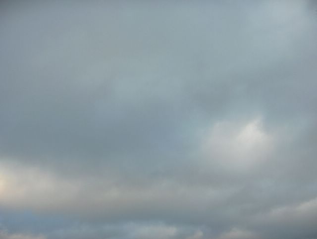
Seuraavana päivänä sumupilvien kokkareisuus oli selkeämpää edelliseen kuvaan nähden ja voimakas lounaistuuli liikutti pilviä ripeästi. Lounaistuulen aiheutti pohjoiselle Atlantille voimistuneet matalapaineet. Tällainen kokkareisuus edesauttoi värikirjon ja tummuusasteiden näkymistä erinomaisesti ko. pilvikerroksessa, kun aurinko oli vuodenajalle tyypilliseen tapaan edelleen matalalla keskipäivälläkin. Kuva on otettu Vantaan Tikkurilassa kohti luoteistaivasta. Säätilanne: valitse 10.1.2006. Wetter3 A. Wetter3 B.
During the next day the lumpyness of the stratus clouds was more visible than in the previous picture and a strong southwesterly wind was moving the clouds in a fast pace. The southwesterly wind was due to strengthened low pressures in the northern Atlantic. This kind of lumpyness helped a range of colours and grades of darkness to stand out very well in this cloud layer, when the sun was shining further so low at noon typically of this season. The photo is taken in the district of Tikkurila in Vantaa towards northwestern sky. Weather condition: choose 10.1.2006; Wetter3 A. Wetter3 B.
Helsingin Puistolan säätilasto tammikuussa 2006 - Weather chart of Puistola, Helsinki in January 2006.
Flickr 1 Flickr 2

posted by Mika at 12:25 PM
![]()


0 Comments:
Post a Comment
<< Home