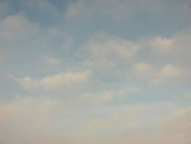
Tämän sumupilvitrilogian päättää pohjoiseen kuvattu taivasnäkymä Vantaan Tikkurilassa. Tässä on edelleen samoja sumupilviä kuin aikaisemmassa kuvassa, mutta nyt kuvan alareunassa nähdään sumupilvien takana myös heikon säärintaman untuvapilviä. Tämä liittyi nyt koillisessa olleen edellisen päivän matalapaineen rintaman jäänteeseen. Pilvissä näkyy tähän suuntaan kuvattuna hyvin keskipäivän ruskosävyt matalalla olleen auringon takia. Säätilanne: valitse 3.1.2006; Wetter3 A. Wetter3 B.
The stratus clouds trilogy is ended here with the northern view of the sky in the district of Tikkurila in Vantaa. Here are the same stratus clouds as in the previous picture, but now there were also cirrus clouds of a weak weather front behind the stratus clouds as it is seen in the lower half of the picture. This was associated with the remain of a front of the previous day's low pressure now located in the northeast. In the clouds as captured in this direction there were finely visible the sunrise / sunset colours of the noon due to the low position of the sun. Weather condition: choose 3.1.2006; Wetter3 A. Wetter3 B.
Helsingin Puistolan säätilasto tammikuussa 2006 - Weather chart of Puistola, Helsinki in January 2006.
Flickr 1 Flickr 2

posted by Mika at 11:31 AM
![]()


0 Comments:
Post a Comment
<< Home