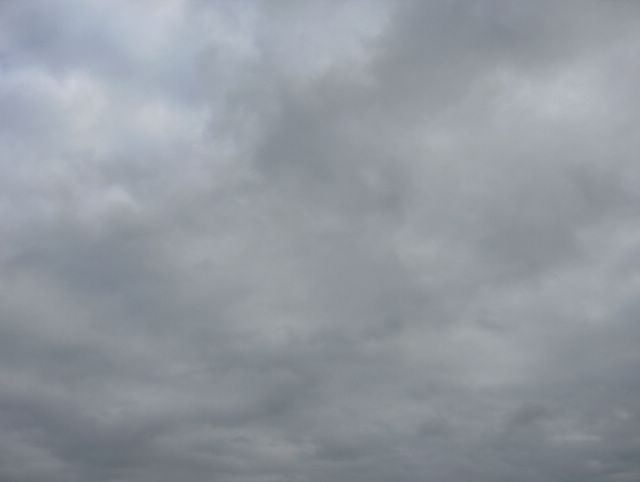
Nyt edellisen päivän okluusiorintaman jälkeen oli kuvauspaikalle Espoon Tapiolaan virrannut viileämpää ilmaa lounaasta melko voimakkaan lounaistuulen myötä. Ko. ilmamassassa esiintyi sadekuuroja (paikoin myös rantää, koska päivän ylin lämpötila oli vain +6,6 astetta). Tässä kuvattuna koillistaivaalle nähdään yhtenäistä kerrosta sumupilveä, joka oli kehittynyt hieman kumpukerrospilven suuntaan kevään auringon lämmittävän vaikutuksen vuoksi. Tämä pilvilautta tuli kylmältä mereltä (vielä osaksi jäinen Suomenlahti) ja se ehkäisi sadekuuroja ko. paikalla. Sumupilvet ja sumut ovat rannikolla tyypillisiä monissa säätilanteissa tähän aikaan vuodesta, kun kosteaa ja etenkin myös lämmintä ilmaa virtaa kylmän alustan (ko. meri) yli. Säätilanne: valitse 18.4.2006; Wetter3 A. Wetter3 B.
Now after the occluded front of the previous day a cooler air had been flowed with a rather strong southwesterly wind to the scene in the district of Tapiola in Espoo. In this air mass showers appeared (also locally sleet, because the maximum temperature of the day was only +6,6 C). As pictured here towards northeastern sky we see even layer of stratus clouds, which had been transformed a bit towards stratocumulus clouds due to a warming effect of the spring sun. This layer of clouds came from the cold sea (yet partly frozen The Gulf Of Finland) and that prevented showers in this place. The stratus clouds and fogs are typical by the coast during this time of the year in many weather situations, as moist and especially also warm air flows over a cold surface (the mentioned sea). Weather condition: choose 18.4.2006; Wetter3 A. Wetter3 B.
Helsingin Puistolan säätilasto huhtikuussa 2006 - Weather chart of Puistola, Helsinki in April 2006.
Flickr 1 Flickr 2

posted by Mika at 4:28 PM
![]()


0 Comments:
Post a Comment
<< Home