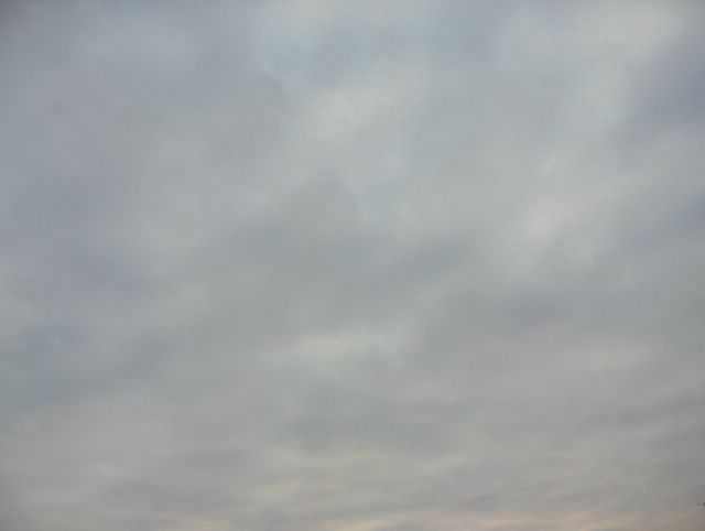
Seuraavana aamuna edellisen päivän (kuvan) kylmä rintama oli muuttunut lämpimäksi rintamaksi luoteesta lähestyneen uuden matalapaineen vaikutuksesta. Tässä vaiheessa kuvauspaikka oli rintaman kylmemmällä puolella. Föhntuuli oli tyyntynyt ja lakannut vaikuttamasta; pakkasta oli aamulla alimmillaan -10,0 astetta. Nyt taivaalla oli pohjois-eteläsuuntaisesti lähestyneen uuden säärintaman verho- ja hahtuvapilviä laajana kilpenä. Pilvissä nähdään vähän myös auringon kajoa, koska pilvikilpi rajautui selkeään kaakkoistaivaaseen. Kuva on otettu Vantaan Tikkurilassa kohti kaakkoistaivasta. Säätilanne: valitse 31.1.2006; Wetter3 A. Wetter3 B.
In the next morning the cold front of the previous day (picture) had been turned into a warm front due to a low pressure, that approached from the northwest. At this stage the location of the photoshoot was on the colder side of the front. The Föhn wind had been died out and was no longer effective; the temperature was -10,0 C at lowest in the morning. Now there were a wide shield of altostratus and altocumulus clouds of the new and nearing north - south lined weather front in the sky. In the clouds we see also some glow of the just risen morning sun, because the boundary of the cloud shield was lined with the clear sky on the east horizon. The photo is taken in the district of Tikkurila in Vantaa (near Helsinki) towards southeastern sky. Weather condition: choose 31.1.2006; Wetter3 A. Wetter3 B.
Helsingin Puistolan säätilasto tammikuussa 2006 - Weather chart of Puistola, Helsinki in January 2006.
Flickr 1 Flickr 2

posted by Mika at 11:19 AM
![]()


0 Comments:
Post a Comment
<< Home