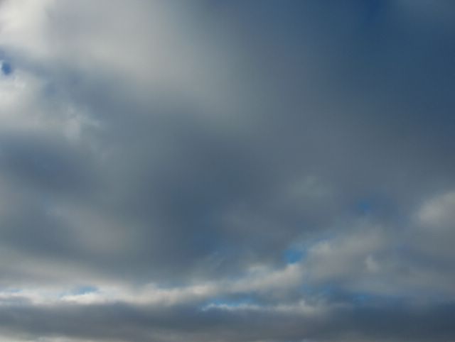
Tässä on edelleen esimerkki kumpukerrospilvestä. Nyt tämä pilvilaji liittyi enemmän paikkaa lännestä lähestyneeseen heikkoon säärintamaan. Matalapaine ulottui pohjoisesta Suomeen. Kumpukerrospilvi on monesti hyvin mielenkiintoinen ja vaihteleva muodoiltaan. Tässäkin havaitaan jänniä osalauttoja ja raja-alueita. Rintaman ansiosta sää oli tilapaisesti aikaisempaa lauhempaa; ylin lämpötila oli päivän aikana -1,6 astetta, mutta nytkään ei ollut suojaa. Kuva on otettu Espoon Tapiolassa luoteistaivaalle. Säätilanne: valitse Base Time 13.2.2006. Wetter3 A. Wetter3 B.
Here is further example of the stratocumulus cloud. Now this cloud type was more associated with a weak weather front that approached the scene from the west. A low pressure was reaching Finland from the north. The stratocumulus cloud is many times very interesting and variable in forms. In here as well we see exciting sublayers and borderlines. Due to the front the weather was temporarily milder than before; the maximum temperature was -1,6 C during the day, but there wasn't thaw even now. The picture is taken in the district of Tapiola in Espoo towards northwestern sky. Weather condition: choose Base Time 13.2.2006. Wetter3 A. Wetter3 B.
Helsingin Puistolan säätilasto helmikuussa 2006 - Weatherchart of Puistola, Helsinki in february 2006.
Flickr 1 Flickr 2

posted by Mika at 3:09 PM
![]()


0 Comments:
Post a Comment
<< Home