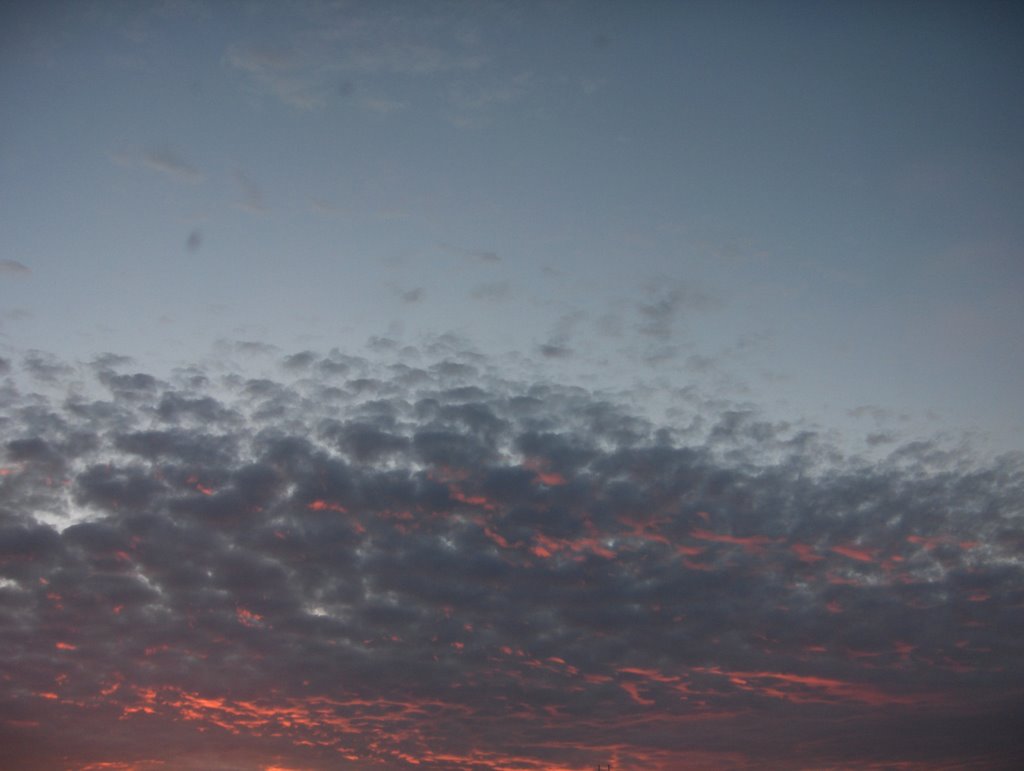
Edellisen kuvan jälkeen Etelä-Suomen yllä ollut matalapaine siirtyi 29.6. nopeasti itään ja länteen muodostunut korkeapaine siirtyi enemmän Suomen ylle. Kuvauspäivänä korkeapaine oli siirtynyt eteläisen Suomen ylle niin, että sen pohjoispuolitse koko Suomeen alkoi virrata helteistä ilmamassaa lännestä. Ko. iltapäivänä lämpötila oli kahden edellisen päivän tapaan jo lähellä +25 astetta, mutta etelärannikolla oli paikoin vain n. +20 astetta merituulen takia. Lämpimän ilman virtaaminen näkyi taivaalla päivän mittaan lännestä ja luoteesta saapuvina vähäisinä untuva- ja hahtuvapilvilauttoina. Muutoin oli täysin selkeää ja vain sisämaassa esiintyi vähäisiä kumpupilviä paikoitellen. Ko. päivänä osa kumpupilvistä levisi illalla kumpukerros- ja hahtuvapilviksi em. helleilman virtaamisen myötä. Muussa tapauksessa kumpupilvet vain katoavat auringon laskettua, kun termiikki lakkaa. Yllä on Hämeenlinnassa otettu kuvapari, jossa nähdään näitä hahtuvapilviä kuvattuna pohjoistaivaalle. Säätilanne: valitse 1.7.2006; Wetter3 A. Wetter3 B.
After the previous picture the low pressure over southern Finland moved quickly to the east during the 29th of june and a high pressure formed in the west moved more over Finland. During the photoshooting day the high pressure had been moved over southern Finland in such a way that along northern side of it there started to flow hot air from the west into whole Finland. In this afternoon the temperature was in the way of the previous two days allready near +25 C, but by the southern coast there was locally only about +20 C due to the sea breeze. The flowing of the warm air mass was showing in the sky during the day as minor layers of cirrus and altocumulus clouds arrived from the west and northwest. Otherwise it was completely clear and only in inland areas there appeared minor cumulus clouds locally. During this day part of the cumulus clouds spreaded into stratocumulus and altocumulus clouds in the evening as the mentioned hot air streamed in. In other cases the cumulus clouds just disappear as the sun sets, when the thermal ends. Above there is the pair of photos taken in Hämeenlinna, where we see these altocumulus clouds photographed towards northern sky. Weather condition: choose 1.7.2006; Wetter3 A. Wetter3 B.
Helsingin Puistolan säätilasto heinäkuussa 2006 - Weather chart of Puistola, Helsinki in July 2006.
Flickr 1 Flickr 2
Tehoisa lämpösumma - The Effective Temperature Sum: 539,2
posted by Mika at 11:00 PM
![]()


0 Comments:
Post a Comment
<< Home